


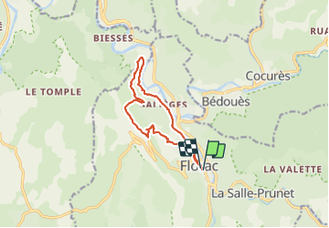
Monteils

Gegetop
User

Length
12.2 km

Max alt
810 m

Uphill gradient
373 m
Km-Effort
17.1 km

Min alt
538 m

Downhill gradient
369 m
Boucle
Yes
Creation date :
2021-08-30 09:37:14.333
Updated on :
2021-08-30 13:45:07.335
3h40
Difficulty : Medium
3h30
Difficulty : Medium

FREE GPS app for hiking
 SityTrail
IGN / Geographical institutes
SityTrail Plus
The world is yours!
About
Trail Walking of 12.2 km to be discovered at Occitania, Lozère, Florac Trois Rivières. This trail is proposed by Gegetop.
Description
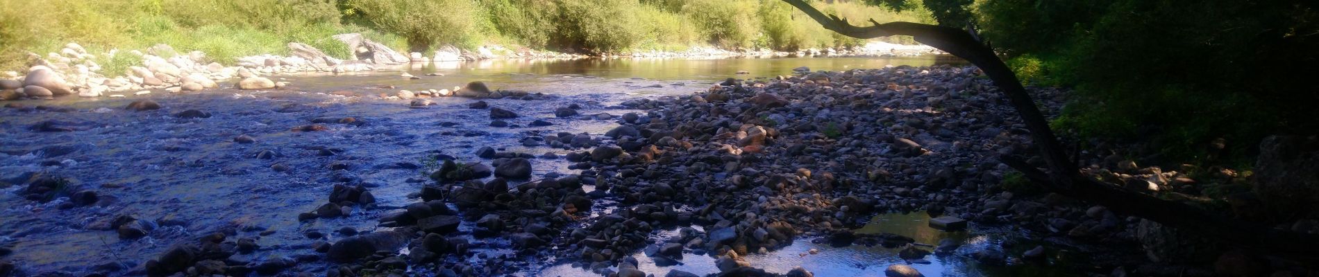
Très beaux points de vue sur la vallée.
Photos


Positioning
Country:
France
Region :
Occitania
Department/Province :
Lozère
Municipality :
Florac Trois Rivières
Location:
Florac
Start:(Dec)
Start:(UTM)
547493 ; 4907875 (31T) N.
Comments